Plan by month
Where to cruise, month by month
The best cruise destinations for every month of the year, with an interactive map of average weather at more than 300 cruise ports and a free climate dataset.
- 333 ports mapped
- 42 destinations rated
- Free climate data
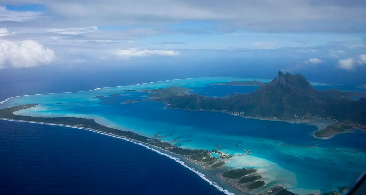
Photo: The TerraMar Project, CC BY 2.0, via Wikimedia Commons
Best cruise destinations by month
| January | Caribbean, Hawaii, Mexican Riviera & Baja, Panama Canal & Central America, South America, Galápagos Islands, Canary Islands & Atlantic Isles, Antarctica, Southeast & East Asia, Australia & New Zealand, Dubai & the Arabian Gulf, Africa & the Indian Ocean, World cruises, Nile River, Mekong River |
|---|---|
| February | Caribbean, Hawaii, Mexican Riviera & Baja, Panama Canal & Central America, South America, Galápagos Islands, Canary Islands & Atlantic Isles, Antarctica, Southeast & East Asia, Australia & New Zealand, Dubai & the Arabian Gulf, Africa & the Indian Ocean, World cruises, Nile River, Mekong River |
| March | Caribbean, Bahamas, Hawaii, Mexican Riviera & Baja, Panama Canal & Central America, Canary Islands & Atlantic Isles, Southeast & East Asia, Japan, Australia & New Zealand, Africa & the Indian Ocean, Nile River, Mississippi River |
| April | Caribbean, Bahamas, Pacific Coastal, Galápagos Islands, Japan, Transatlantic, Mississippi River |
| May | Bahamas, Bermuda, Hawaii, Pacific Coastal, Galápagos Islands, Mediterranean, Western Europe, Japan, Tahiti & the South Pacific, Transatlantic, Danube River, Rhine River, Seine River, Douro River, Mississippi River, Columbia & Snake Rivers |
| June | Bermuda, Alaska, Mediterranean, Western Europe, Northern Europe, Iceland, Greenland & the Arctic, Tahiti & the South Pacific, Danube River, Rhine River, Seine River, Douro River, Columbia & Snake Rivers |
| July | Bermuda, Alaska, Canada & New England, Northern Europe, Iceland, Greenland & the Arctic, Tahiti & the South Pacific |
| August | Alaska, Canada & New England, Northern Europe, Iceland, Greenland & the Arctic, Tahiti & the South Pacific |
| September | Hawaii, Canada & New England, Pacific Coastal, Mediterranean, Western Europe, Tahiti & the South Pacific, Danube River, Rhine River, Seine River, Douro River, Mississippi River, Columbia & Snake Rivers |
| October | Canada & New England, Pacific Coastal, Canary Islands & Atlantic Isles, Japan, Transatlantic, Douro River, Mississippi River, Columbia & Snake Rivers |
| November | Mexican Riviera & Baja, Galápagos Islands, Canary Islands & Atlantic Isles, Japan, Australia & New Zealand, Africa & the Indian Ocean, Transatlantic, Nile River, Mekong River |
| December | Caribbean, Mexican Riviera & Baja, Panama Canal & Central America, South America, Galápagos Islands, Canary Islands & Atlantic Isles, Antarctica, Southeast & East Asia, Australia & New Zealand, Dubai & the Arabian Gulf, Africa & the Indian Ocean, Danube River, Rhine River, Nile River, Mekong River |
Interactive
Cruise port weather map
Pick a month to see average daily highs at 333 cruise ports, or switch to season view to see which regions are in their best months.
Loading port data…
Ringed dots are departure ports. Hover or tab to a port for details; select it to open its guide.
Where to cruise in NovemberMonth-by-month guides
Where to cruise in January
January is peak season in the Caribbean, Mexico and the southern hemisphere: think warm, dry islands, Antarctica's summer and Australia and New Zealand at their best.
Where to cruise in February
February brings reliable sunshine to the Caribbean, Mexico and Hawaii, plus Antarctica and Australia's summer: a top month to escape winter.
Where to cruise in March
March is the last full month of Caribbean high season and the start of Japan's cherry blossom cruises, with Antarctica and Australia winding down.
Where to cruise in April
April opens the European season: the Mediterranean, Canary Islands and river cruises restart, while the Caribbean stays warm and spring transatlantic crossings set sail.
Where to cruise in May
May is a sweet spot: Alaska's season opens, the Mediterranean and Greek islands warm up before summer crowds, and Norway and Bermuda get going.
Where to cruise in June
June is peak time for Alaska, Northern Europe, Norway and the Baltic, with warm Mediterranean days, and the start of the Atlantic hurricane season in the Caribbean.
Where to cruise in July
July is peak summer: Alaska, Northern Europe, Iceland and Canada are at their best, the Mediterranean is hot and crowded, and family-friendly ships are full.
Where to cruise in August
August is peak summer in Alaska, Northern Europe and the Mediterranean, and the start of the most active part of the Atlantic hurricane season.
Where to cruise in September
September is shoulder season at its best: a warm Mediterranean with fewer crowds, Alaska's final weeks and the start of fall foliage cruises in Canada and New England.
Where to cruise in October
October means fall foliage in Canada and New England, a pleasant Mediterranean shoulder season, and the return of ships to the Caribbean on fall transatlantic crossings.
Where to cruise in November
November marks the return of Caribbean and Mexico high season, the start of Antarctica and Australia's summer, and Christmas market river cruises late in the month.
Where to cruise in December
December brings festive Christmas market river cruises in Europe, dry-season Caribbean and Mexico sailings, and Antarctica and Australia in summer.
Cruise season calendar
Every destination we cover, rated month by month by our editors. Select a cell to read that month's guide.
Free to use
Cruise port climate data
The weather on our port, destination and month pages comes from one consistent dataset: average daily high and low temperatures, rainfall, humidity and daylight for every month at 333 cruise ports and departure ports.
We calculated it from NASA POWER daily data for 2015 to 2024 at each port's coordinates. Where the surrounding area sits well above sea level, temperatures are adjusted down to the waterfront using a standard lapse rate of 6.5°C per kilometer. The data averages each area with the surrounding sea, so small islands can be a few degrees warmer by day than shown. Daylight is calculated for mid-month.
The dataset is free to reuse under CC BY 4.0. Please credit BookMyDreamCruise with a link to this page.
How to cite
BookMyDreamCruise (2026). Cruise port climate averages, 2015–2024. https://bookmydreamcruise.com/where-to-cruise
Frequently asked questions
What is the best month to go on a cruise?
There's no single best month: it depends on where you want to go. The Caribbean and Mexico are at their best from December to April, Alaska and Northern Europe from June to August, the Mediterranean in May, June, September and October, and Antarctica, Australia and New Zealand from December to February.
Where can I cruise in winter?
From December to March, the Caribbean, Bahamas, Mexican Riviera, Panama Canal and Hawaii are in their dry high season. South of the equator it's summer, so Antarctica, South America, Australia and New Zealand are also in season. In Europe, the Canary Islands stay mild all winter.
Where can I cruise in summer?
From June to August, Alaska, Norway, Iceland, the British Isles, the Baltic and Canada and New England are at their best, with long days and mild temperatures. The Mediterranean is hot and busy, and the Caribbean sails all summer during hurricane season.
When is hurricane season for cruises?
The Atlantic hurricane season, which affects the Caribbean, Bahamas, Bermuda and the US East and Gulf coasts, runs from June 1 to November 30. The eastern Pacific season, which affects Mexico's Pacific coast, runs from May 15 to November 30. Ships still sail, and lines change routes to avoid storms.
Where does your weather data come from?
Average daily highs, lows and rainfall are calculated from NASA POWER daily data for 2015 to 2024 at each port's location, adjusted to sea level where the surrounding land is high. You can download the full dataset free from this page.
Updated November 2026 by the BookMyDreamCruise editorial team. How we research and fact-check.
Sources: NASA POWER, NOAA National Hurricane Center, Natural Earth (map).